Abejorral
2103
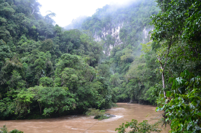
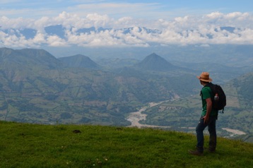
In this trip we kept the focus of our last two trips, seeking to place our observations in a cross-section. The first day we travelled from Bogotá to Rio Claro, where we looked at beautiful deformation structures along the spectacular Rio Claro Canyon. Rio Claro carved its canyon in pure marble. Along the way, we stopped at the Capira Lookout point, the best place to see the Magdalena Valley, and the frontal faults of the Cordillera Oriental. When we got there, the mist was so thick, we could barely see each other. We got to stretch our legs in this long trip, at least.
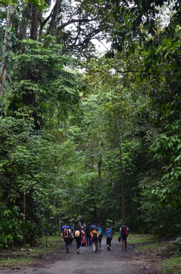
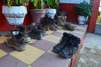
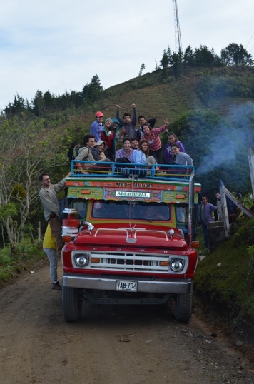
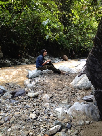
After Rio Claro, we stopped at the bridge over the mighty Samaná river, and made a few observations before we continued our journey west. We arrived in Pantanillo (gigapan here) after dark, and having witnessed our very skilled bus driver make turns in really tight corners. We stayed in Pantanillo and travelled every day in all directions to try to understand the structure of the region. We were counting on one road to take us down about 1200m to near the Cauca river. When we got there, we got the bad news: road was closed due to huge landslide (watch the video here). So we walked. A lot. Some days we walked over 16 km to get to the outcrops in the lowlands.
Our hostess in Pantanillo was the wonderful Hermana Catalina, who treated us with much love. We were fortunate to land there. Every night we discussed the day’s observations and how they fit in the tectonic scheme of the orogen.
Photos by A. Rosero, video by C. Ortiz
Abejorral, Pantanillo
12/1/13
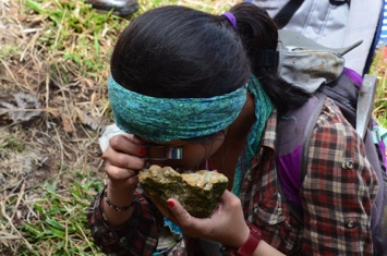
The last leg of our 5°N transect of a complex orogen took us near the town of Abejorral, Antioquia, where we looked at all the fault-related rocks we could handle.